
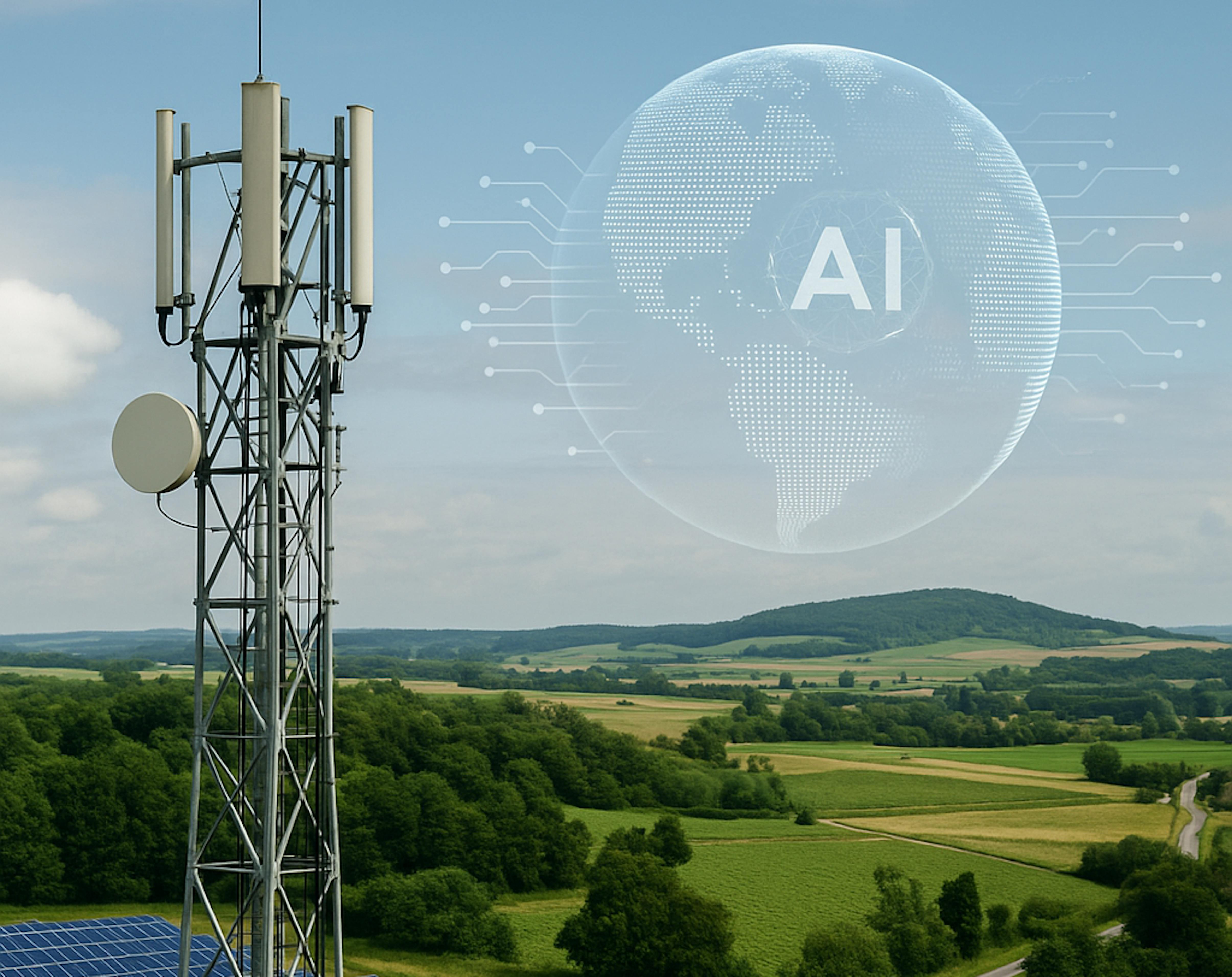
Turning Earth Observation data into actionable insights with AI
Enabling Better Risk Decisions
We help organisations unlock the value of Earth Observation, Geospatial Intelligence and AI through tailored solutions, capacity building and data-driven risk intelligence.
We work across sectors where geospatial data and AI can drive smarter decisions.
Insurance & Finance

We support insurers, reinsurers, banks and financial institutions with EO-powered risk intelligence, AI and Explainable AI (xAI) for underwriting support, exposure assessment, portfolio monitoring and claims validation.
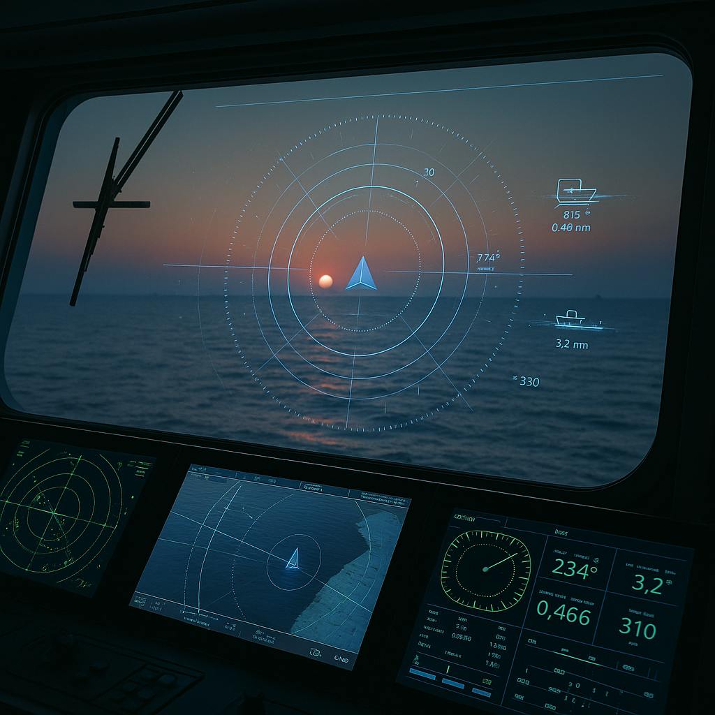
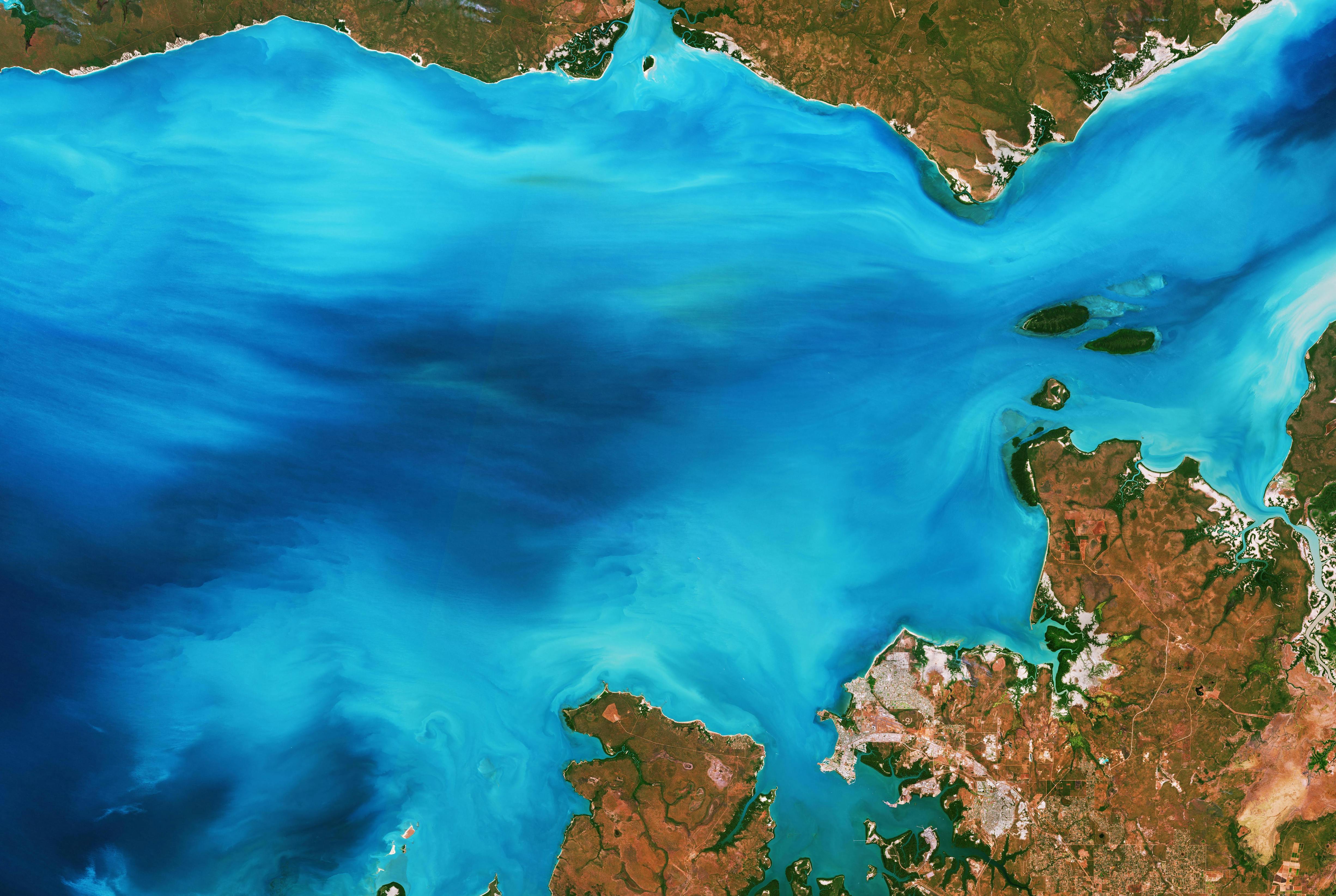
Maritime & Ports

We support port authorities and other maritime stakeholders with AI-powered tools for ETA prediction, demand forecasting, data visualization, dashboards and identification of patterns, trends and anomalies.
Environmental Monitoring
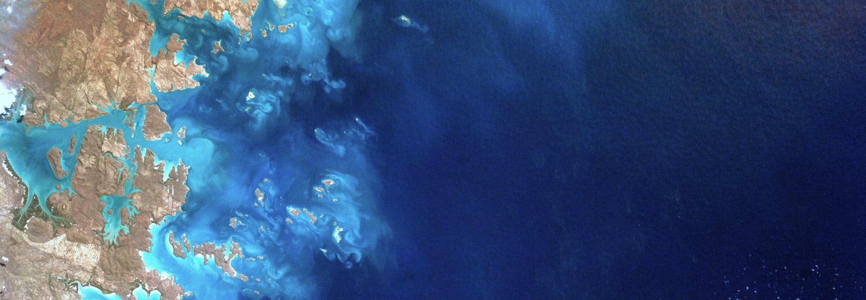
We develop EO-powered intelligence solutions that help organisations monitor environmental change, assess climate and ecosystem risks, detect anomalies, and support sustainable decision-making.
Cartography & GIS
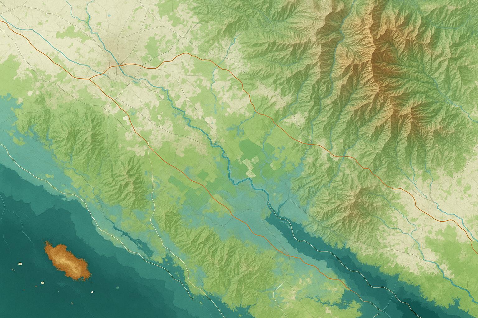
We craft purpose-driven maps that combine spatial accuracy with visual storytelling, transforming complex data into intuitive visuals for planning, communication, and decision-making.
Customers & Partners


Bridging the EO Adoption Gap, Unlocking the Value
Earth Observation (EO) and AI have enormous potential to transform how we understand and manage risk. Yet for many insurers, reinsurers, banks, and financial institutions, the primary challenge is not data availability but adoption.
Limited organisational awareness, a lack of internal EO expertise, difficulties integrating new data sources into existing workflows and concerns around AI transparency often prevent organisations from realising the full value of these technologies.
SPACE-SHIP provides tailored workshops, executive briefings, proof-of-concepts and capability-building programmes that help insurance and financial professionals understand and adopt EO-powered risk intelligence. Our goal is to build internal confidence and accelerate adoption without requiring specialist remote sensing expertise from day one.

Stay Updated. Stay Ahead.


What do our customers say?

We build solutions that work; in your context, at your scale, to create measurable impact.
Domain-Driven, Not Generic
We combine Earth Observation, AI, geospatial analytics and industry expertise to solve complex challenges across sectors. Every solution is designed around real business needs, for meaningful impact and long-term value.
Tailored, Not Off-the-Shelf
We co-design every solution with you to solve your specific challenges, not force-fit a platform. We also act as an external R&D partner for our clients, supporting their internal teams with specialist expertise, rapid prototyping, and custom solution development.
Built to Scale, Ready to Integrate
From technical studies, risk assessments, dashboards and web portals to GIS-ready datasets, APIs and automated monitoring services, we deliver solutions that can be directly integrated into operational and decision-making workflows.